![]()
June
24, 2003 South Dakota Tornadoes
Page 2
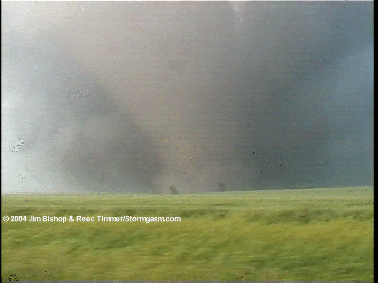
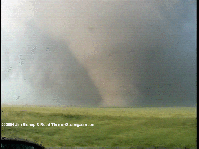
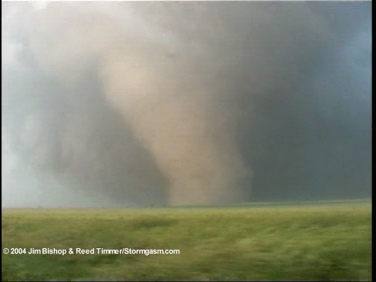
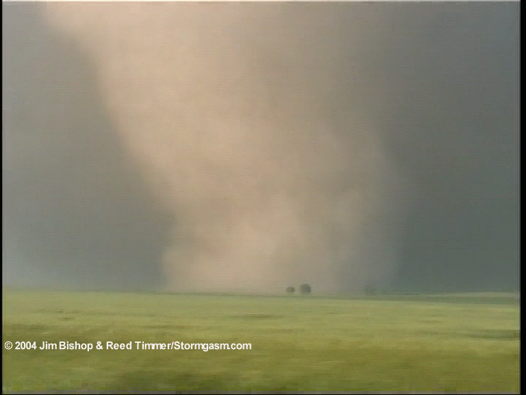
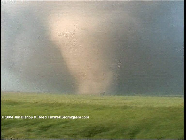
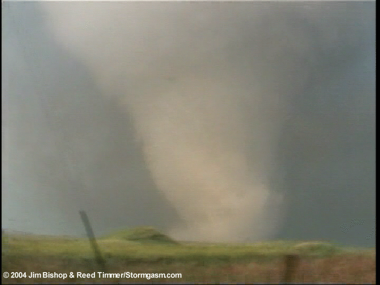
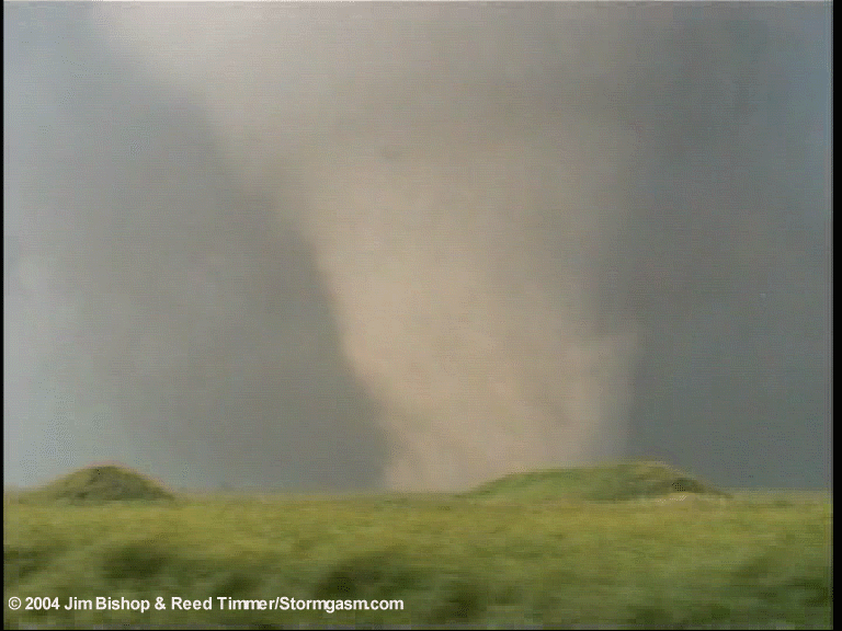
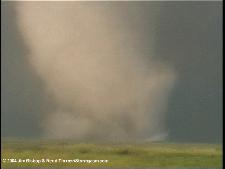
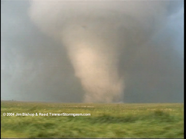
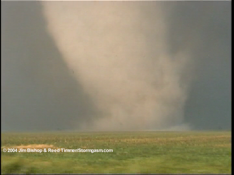
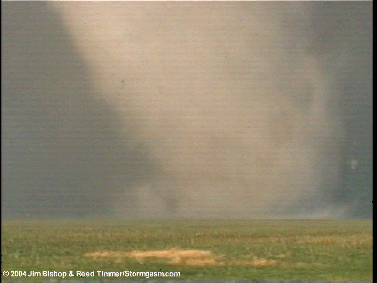
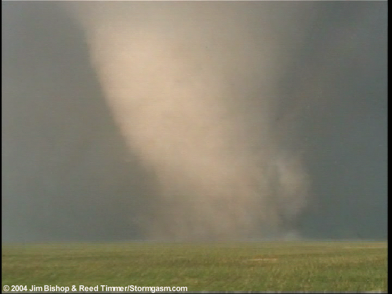
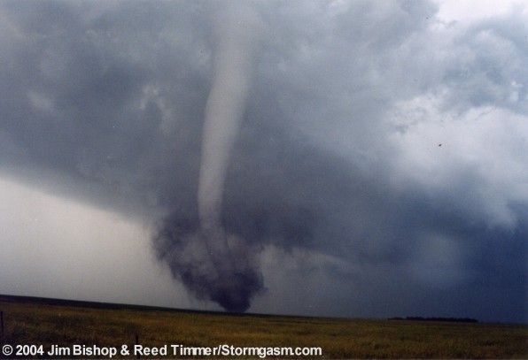
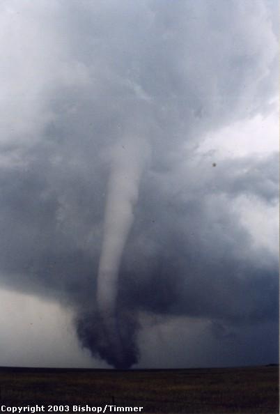
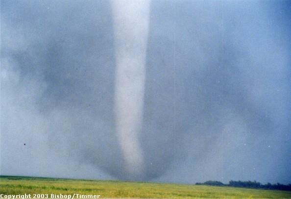
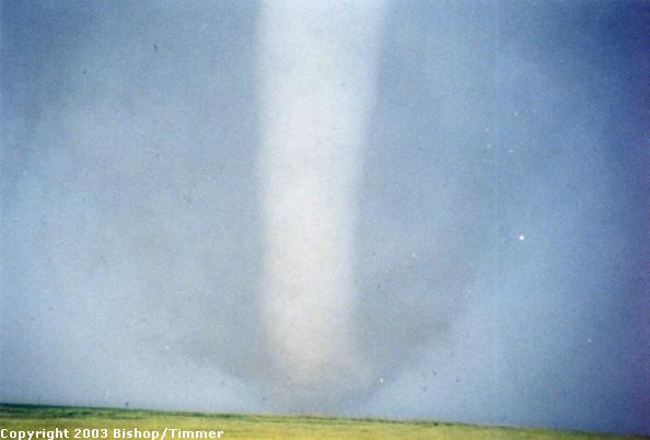
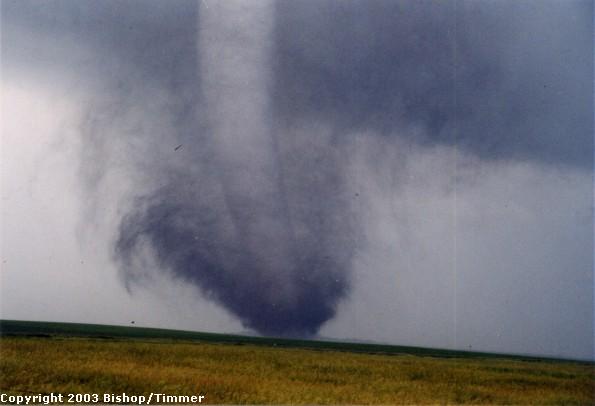
| Below are low quality video stills (not representative of the video quality). The tornado looked much better than these stills. |
 |
 |
 |
 |
 |
 |
 |
 |
 |
 |
 |
 |
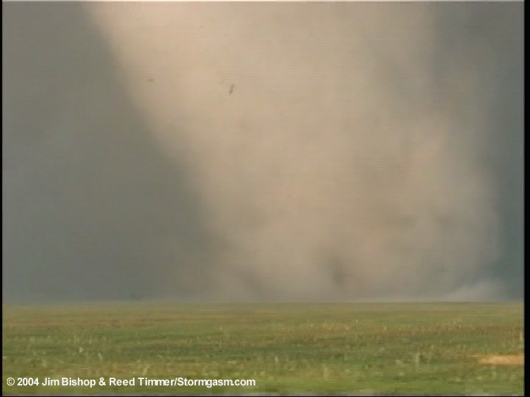 |
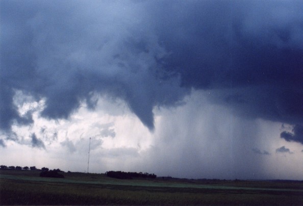
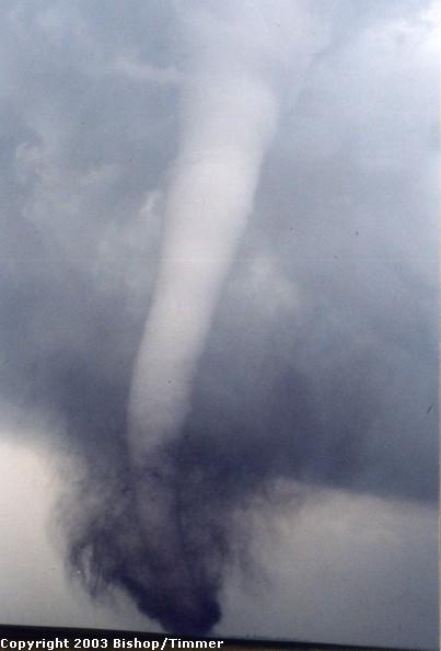
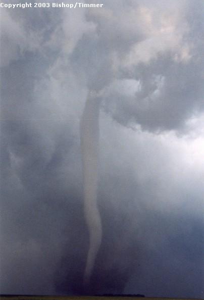
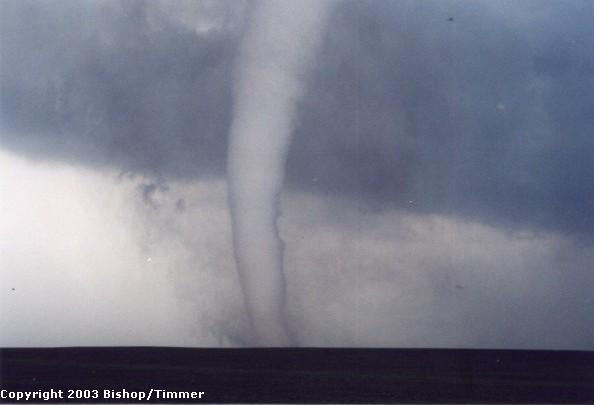
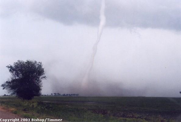
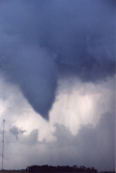
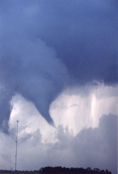
| The tornado
during its rope stage. Very spectacular! |
 |
 |
 |
 |
 |
 |
 |
 |
 |
 |
 |
 |
 |
 |
 |
|
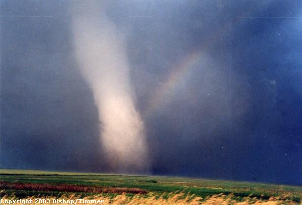
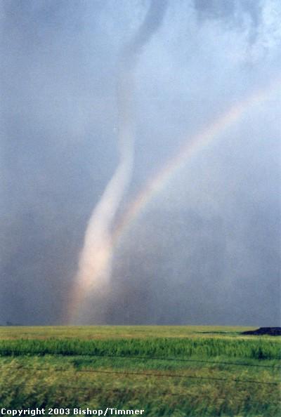
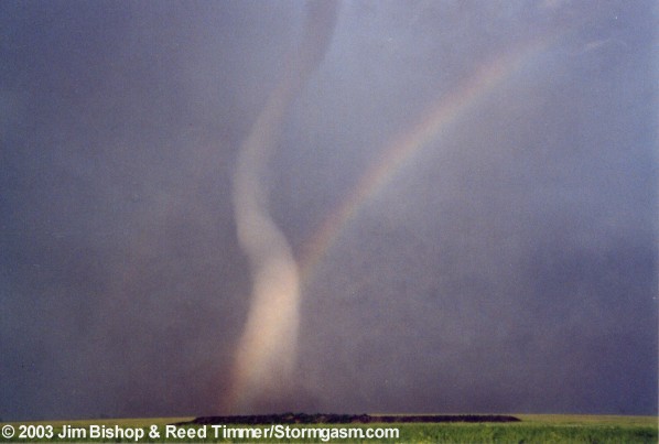
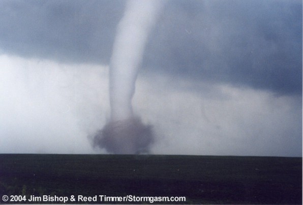
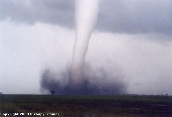
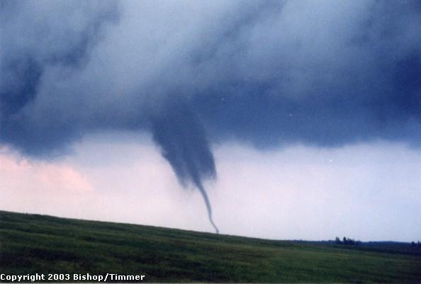
Once the road was a bit more stable (not nearly as well and muddy) I stopped the car to take some stills. A rainbow was forming next to the tornado, and what a beautiful site that was! A white stovepipe tornado, kicking up dark brown dirt at the base, ripping through a green field with a rainbow by its side, does tornado photography get any better? Out of nowhere, the tornado ropes out in a matter of seconds, and all that remained was a shower of debris. Looking to our east, we could see another wall cloud with brief touchdowns already. Tornado #3 was developing. We took another small dirt/gravel road east towards the main state highway that runs north south just east of Manchester. The tornado continued to have brief series of touchdowns as it crossed the road to our east about 3/4 mile ahead. |
 |
 |
 |
 |
 |
 |
|
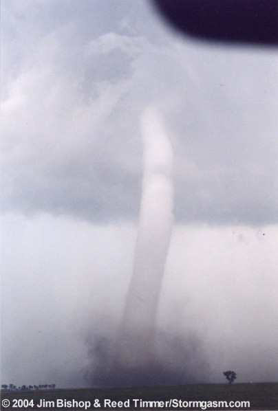
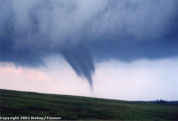
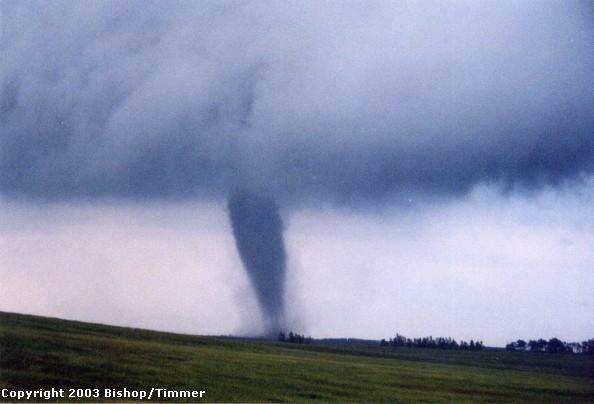
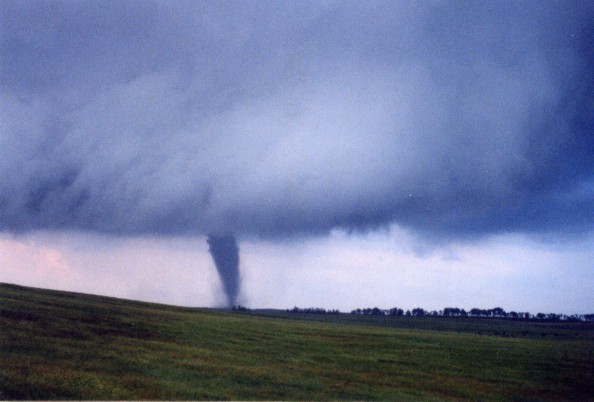
Upon reaching state highway 28 we went east. The tornado was now a beautiful rope, straight up and down. We stopped in a position where we had a small green hill to our SE and SW. The tornado was crawling north-north east through this breath taking South Dakota landscape. It began to take a transparent appearance for a few seconds, and then would evolve into a rope once again. This tornado lifted as another wall cloud due east of us was about to produce yet another tornado! We let the occluded mesocyclone pass just to our east over the road. It was very interesting because this occluded meso soon began to intensify, rotating faster and producing a cone funnel. Yet, it had not been connected to an updraft for four or five minutes. This was the trademark for this storm today. (Very interesting) |
|
|
 |
 |
 |
|
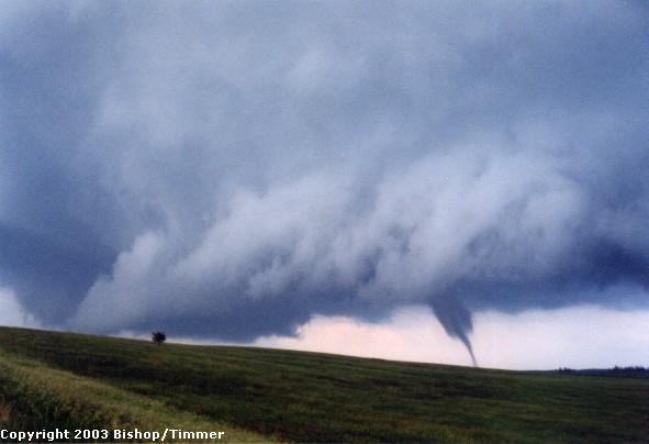
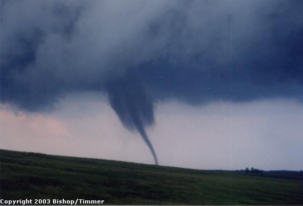
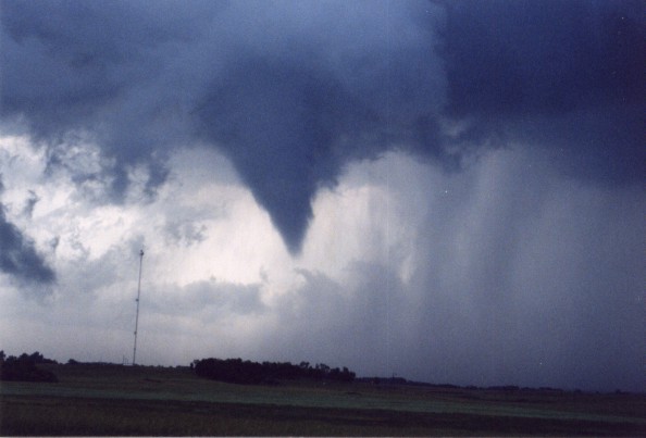
Tornado #4 formed to our northeast with the new wall cloud. It was another rope. At the same time, the occluded meso was producing a funnel just to our north about 1/4 mile which was now turning into a white rope, with a couple twists and turns. It was very entertaining. We talked to a local who was following the tornadoes past his farm house. He'd seen the one that went through Manchester, but didn't seem affected. He was a very friendly man. The rope to our north briefly touched down, owing to tornado #5, our fifth and final tornado of this magnificent day! I would have chased this storm much longer and been next to the rope to our northeast. But some serious complications occurred in the car which forced me to terminate the chase around 8:20pm. Nonetheless, we saw 5 tornadoes, three of which were extremely photogenic and gorgeous, 2 appeared to be violent and caused damage, and one was rated as an F4. If you count the three small satellite tornadoes we saw around tornado #2 then we actually saw 8 tornadoes! To sum it all up, this was the chase of a lifetime! |
| Back to Page 1 |