Simon,
Jim (me) and Mark left Norman sometime after Midnight and headed
for O'neil, Nebraska. Upon reviewing the conditions once in O'neal,
we became very depressed. A thick cirrus deck have moved over
the area from the southwest, limiting surface heating, and thus
limiting instability. The cloud cover also made the cap that much
more difficult to break.
Despite
those limitations, we drove southwest hoping storms would fire
along the boundary. To our luck, they did. Apparently the upper
level support was just enough to initiate supercells. We ended
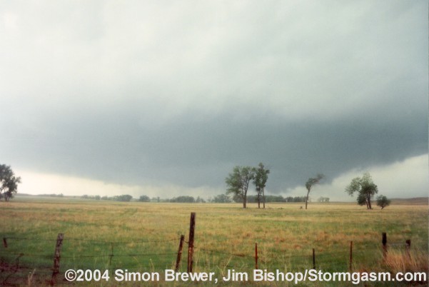
up on state highway 11 near the Garfield/Holt county line. There
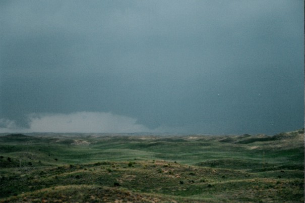
we waited for a newly formed supercell to approach from the southwest.
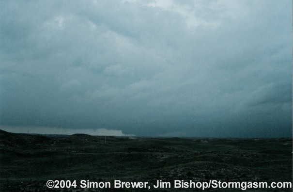
About 20 miles in the distance a large wall cloud was visible,
and a large cone tornado touched down briefly.
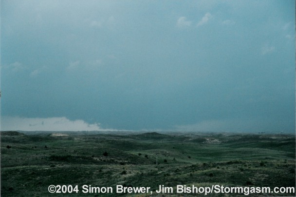
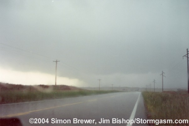
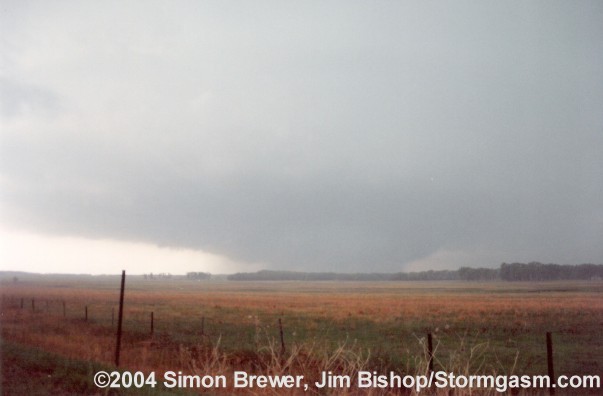
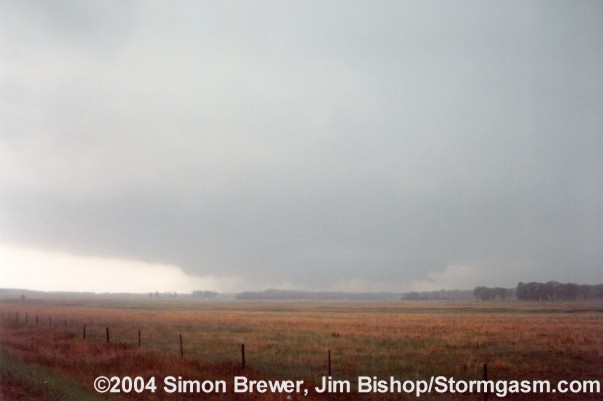
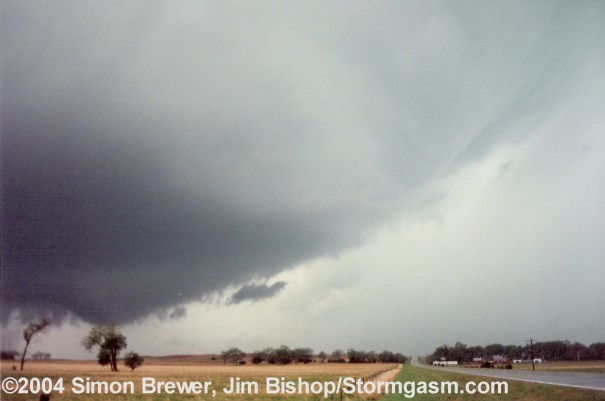
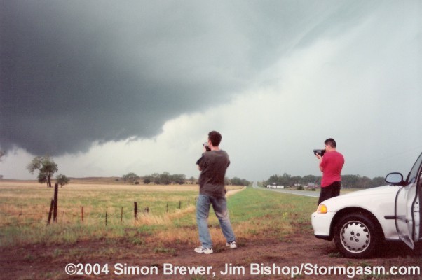
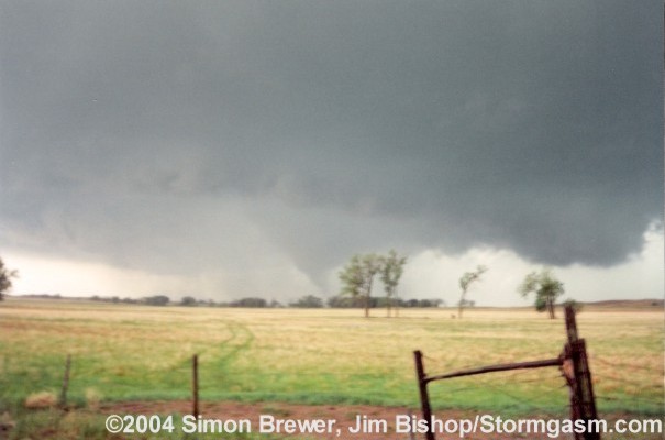
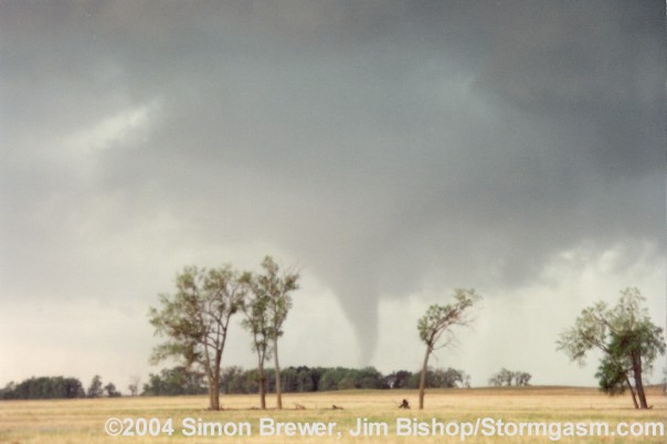
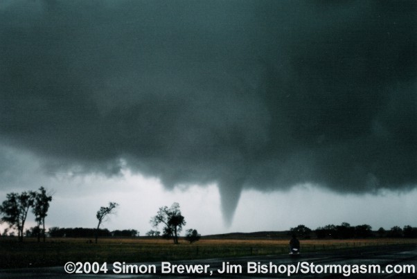
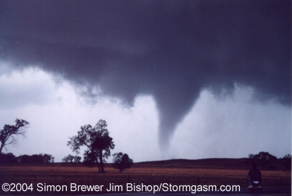
As
the storm approached we stayed to it's east along the highway.
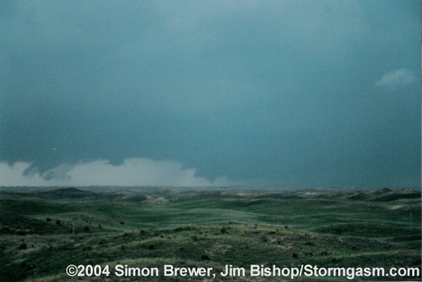
We were extremely lucky as the supercell produced another tornado
(images below) as we got into position to the north of the mesocyclone,
driving east along state highway 95.
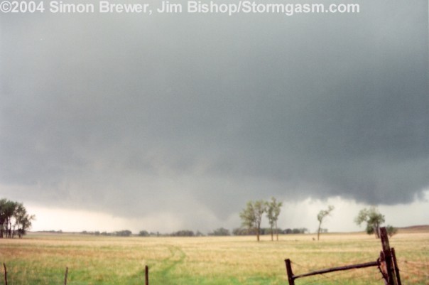
Due
to the extremely poor road network we were not able to view the
next tornado. Nonetheless, observing two tornadoes, one at close
range, was quite different than what I expected - which was nothing! |