April 21, 2004 Central Oklahoma
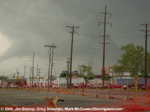
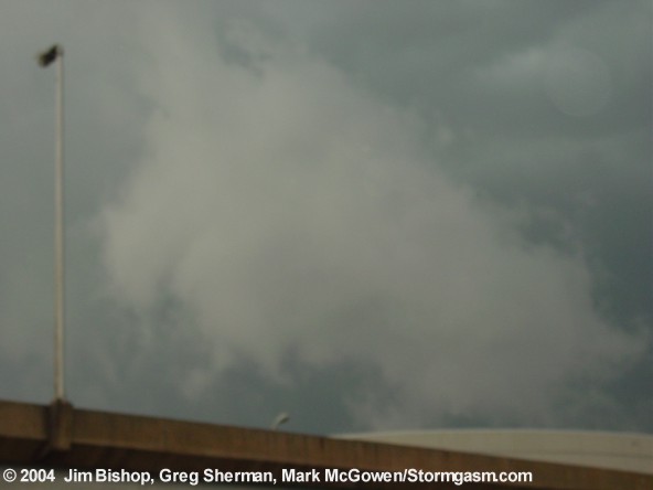
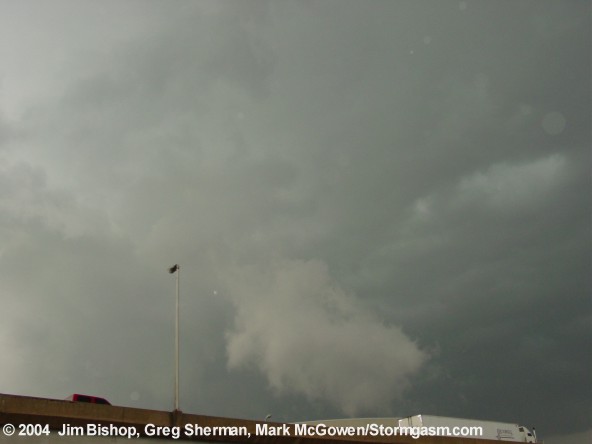
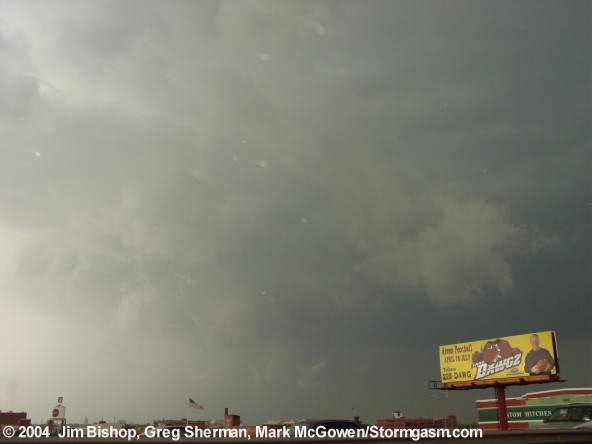
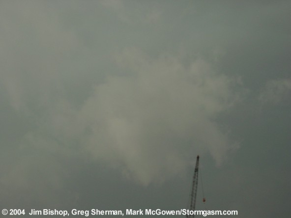
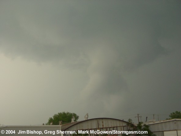
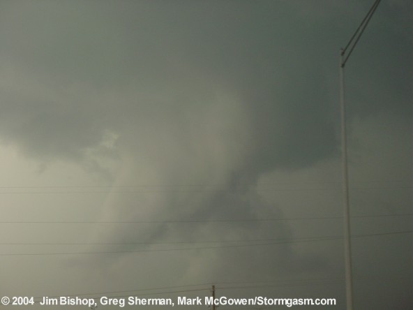
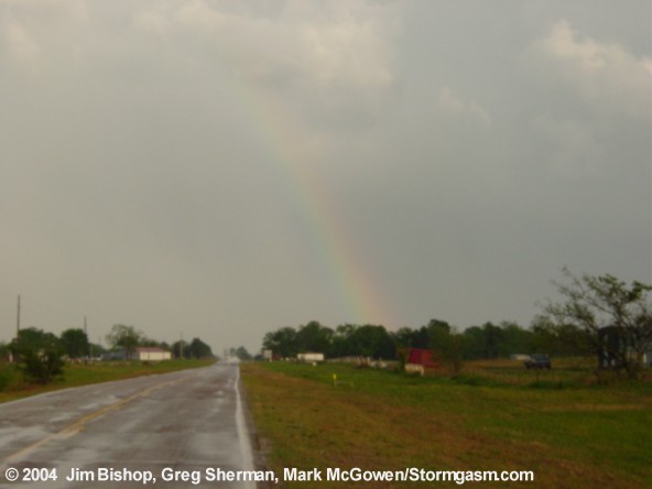
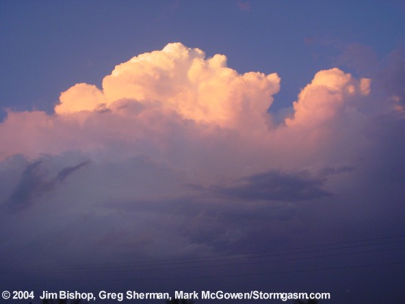
Myself (Jim Bishop), Greg Sherman and Mark McGowen headed out at 2:30pm. We caught the supercell moving into Oklahoma County around 4pm or so. The following are digital photographs of the supercell which moved through downtown OKC, taken by Greg Sherman. A thick funnel came more than halfway to the ground but did not reach all the way. After this storm undercut its meso one too many times, we dove south and caught up with a couple cells just south of Ada. Both produced wall clouds, but not tornadoes. More pics will be up shortly... Simon and Tom were in a seperate vehicle, not being able to leave until later in the afternoon. They will have photos of this storm from a different perspective. |
Short Chase Summary: After leaving norman around 2:30pm, we headed towards the Tutle/Minco area on state highway 152 where the towering cumulus were located. We arrived there and couldn't see much do to the cumulus field. We quickly learned of an intensifying storm a few miles west of Yukon, and another storm just south of Chickasha. I could finally see the updraft to the Yukon storm and liked the way it looked. A tornado warning was issued for the storm, and we hopped on it shortly after on the wester edge of Oklahoma County. It had a wall cloud and great storm structure. As we mergerd onto I-44, a funnel *slowly* formed. It had weak rotation, but rotation nonetheless. We took an exit off the interstate because I was afraid I-40 would be slightly too far north and in the RFD, which was clearly a mass of rain and hail. We crawled through downtown OKC, stopping at every light as the storm crawled by us! Finally we got on I-40 (happened to be far enough south after all) and a wall cloud with a rather thick funnel cloud was haning over Oklahoma City. I really thought it was going to happen *again* in OKC. Nope, not this time. The rotation weakened as outflow undercut the mesocyclone. We followed the storm to Choctaw where it didn't show many more impressive signs. We dove south and caught up with a couple supercells just south of Ada later that evening. Both produced wall clouds, but the forward flank downdrafts undercut them before a tornado could form. |
 |
 |
 |
 |
 |
 |
 |
 |
 |
 |
 |
 |
Home
| Storm Store | Photo
Gallery | Message
Board | Storm Chases | Latest
News
Stock Footage | About
| Contact | Editorial
| Weather Links
Copyright 2004 Stormgasm.com. All rights reserved.