June 20th, 2007: Great Smoky Mountains National Park (Tennessee)
|
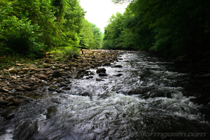
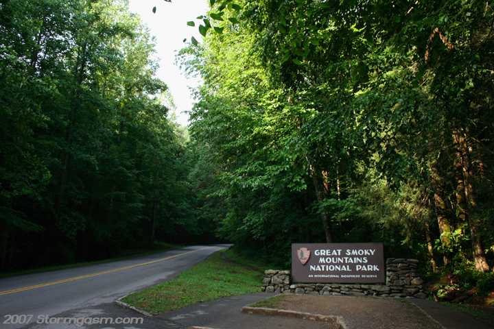
On June 20th, 2007 Simon Brewer and Anna Morrell took a trip to the beautiful Great Smoky Mountain National Park in eastern Tennessee. These are pics of the West Prong Little Pigeon River between Gatlinburg and Pigeon Forge, and the entrance to the Smokey Mountains National Park. |
 |
 |
|
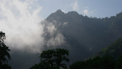
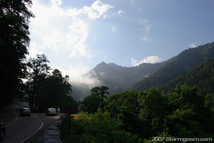
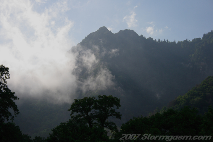
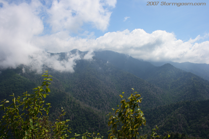
Pictures of the Chimney Top Peak from the main road though the park as we approached the trailhead. |
 |
 |
|
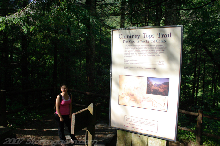
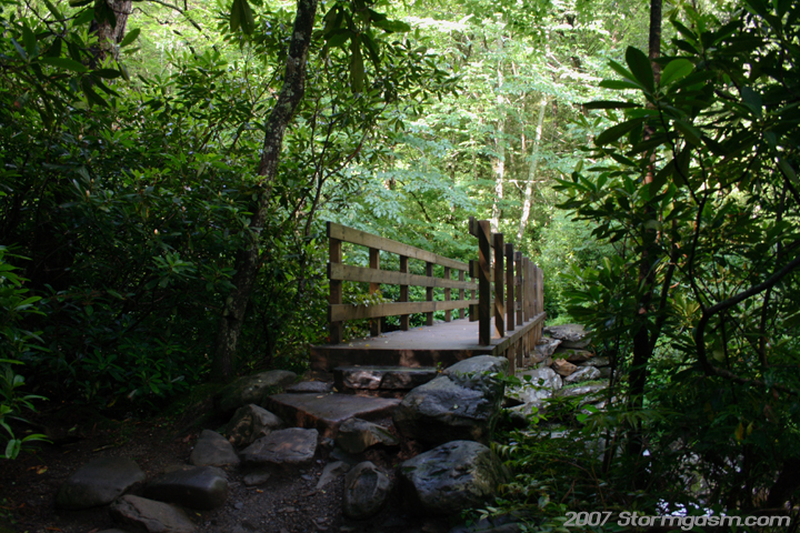
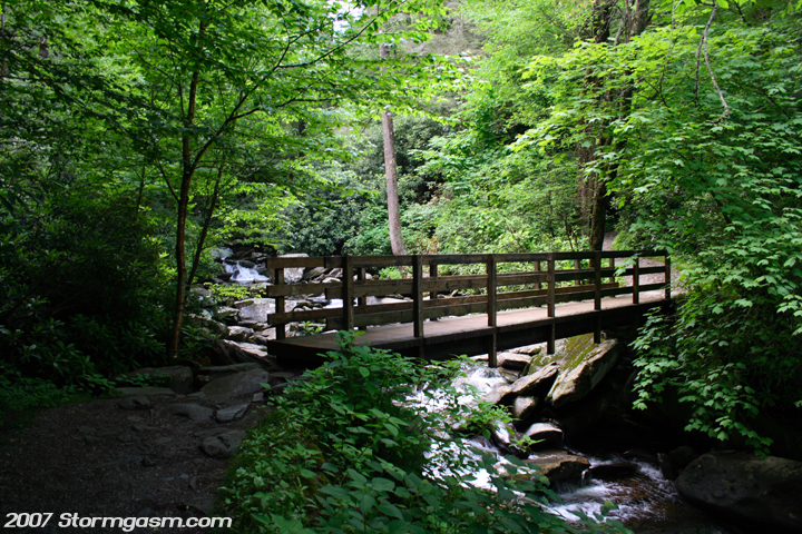
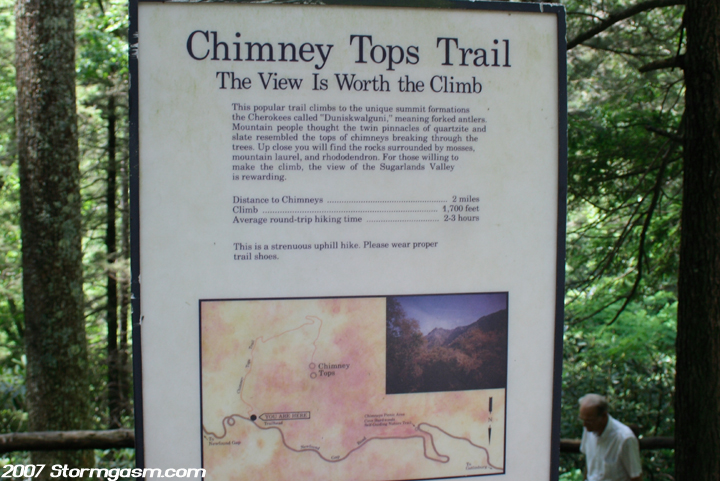
Target was the Chimney Top Peak and then a trip to the top of Tennessee on Clingmans Dome. Simon and Anna departed early and were on the Chimney Top Trailhead by 9 AM. A pic of Anna and the trailhead sign and a pic of a bridge over a creek crossing. |
 |
 |
|
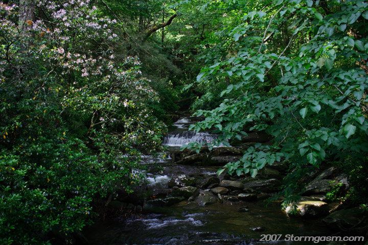
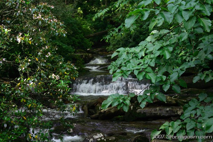
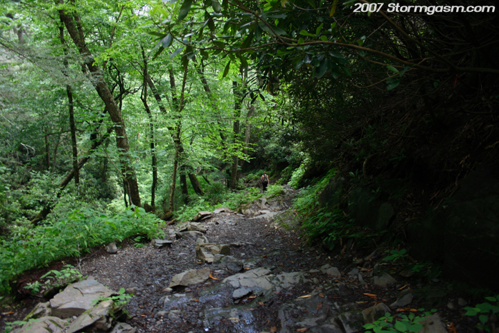
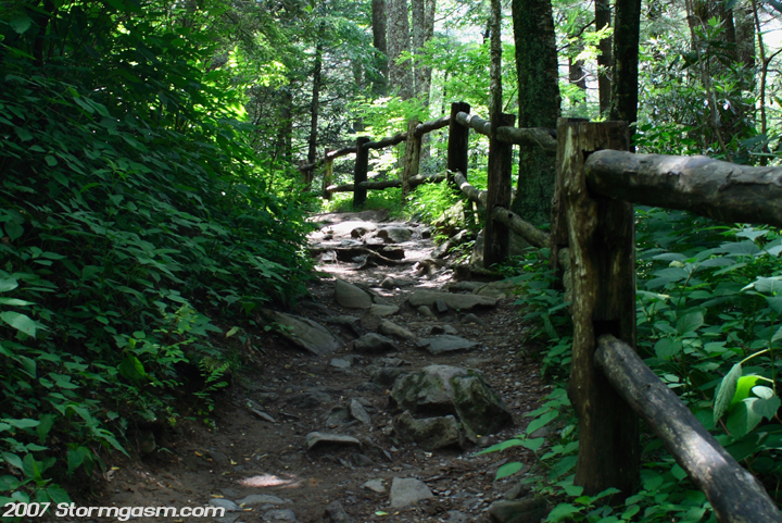
Some pics of creek near the trail. The trail up to Chimney Tops is amazing; lots of vegetation, streams, and wildlife. We saw a young black bear half-way up the trail. I tried to take pictures, but the tree canopy was so thick on that portion of the trail it seemed like dusk. I didn't pay attention to my shutter speed, which was way too low, and the pics ended up blurry. |
 |
 |
|
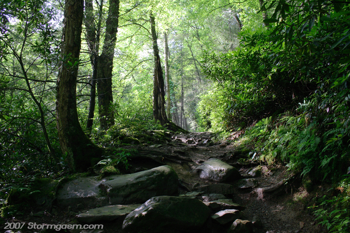
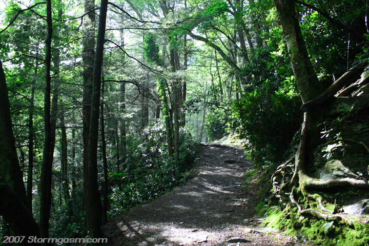
More pics of the trail up the mountain. This trail gets pretty steep in places. This area receives nearly 100 inches of rainfall per year, so it's close to rainforrest criteria. Very warm and muggy despite a strong summer cold front passage the night before. |
 |
 |
|
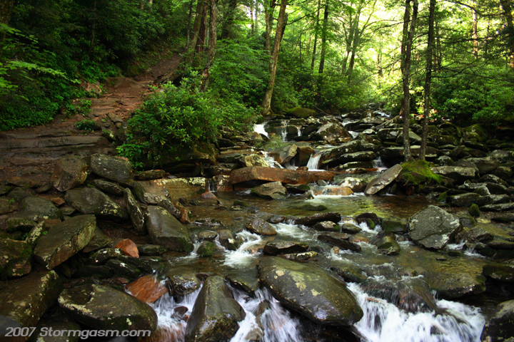
I've climbed this mountain at least 6 times since the late 90's and this is one of my favorite parts of the trail. The trail starts to get really steep and it parallels this beautiful stream. |
 |
|
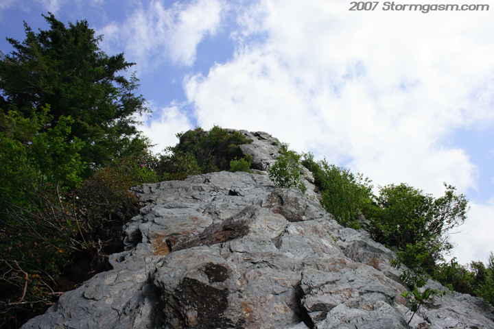
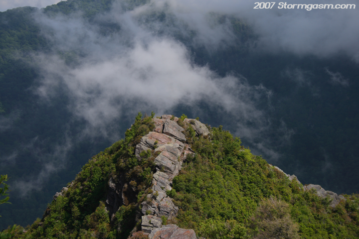
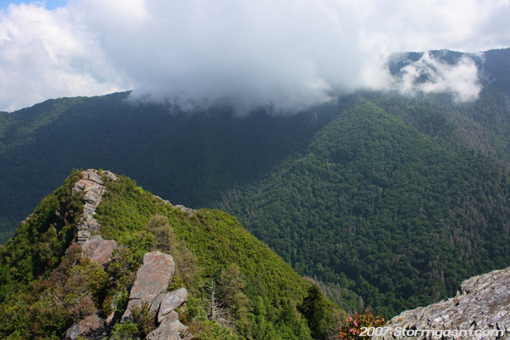
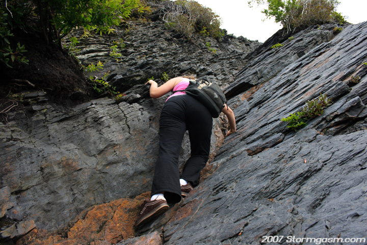
Now we're almost to the top, which is in the pic on the left. It's a slate outcrop, which is I guess class 3 climbing by mountain standards (use of hands is needed on this part). The second pic is Anna nearing the top of Chimney Tops. |
 |
 |
|
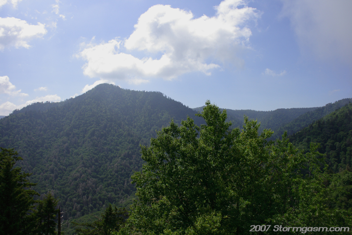
Gorgeous views on top! The pic on the left is looking southeast at Mt. Mingus. The pic on the right is looking northeast at Mt. Le Conte. |
 |
 |
|
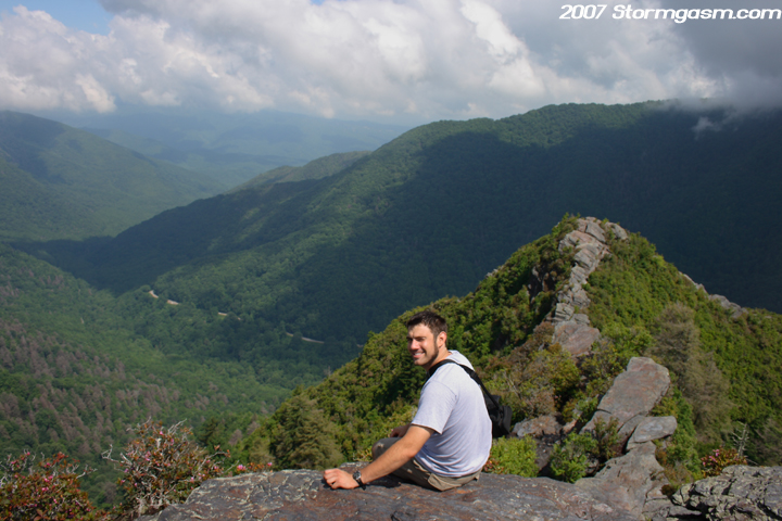
Pic of Anna sitting on top of Chimney Tops Peak at 4700 feet in elevation. Pic on the right is, again, looking northeast at Mt. Le Conte. |
 |
 |
|
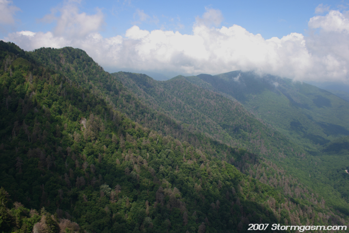
Pics of the lower portion of the peak. In the right pic you can see SR 441, which cuts through the heart of the park. SR 441 is the only reason this National Park is free. Before the park was established there was a state to state agreement between TN and NC to not make that route a toll road. So, when the G.S.M.N.P. was established they couldn't charge people to enter the park due to that law, because SR 441 was the main entrance to the park; pretty cool history fact. |
 |
 |
|
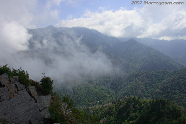
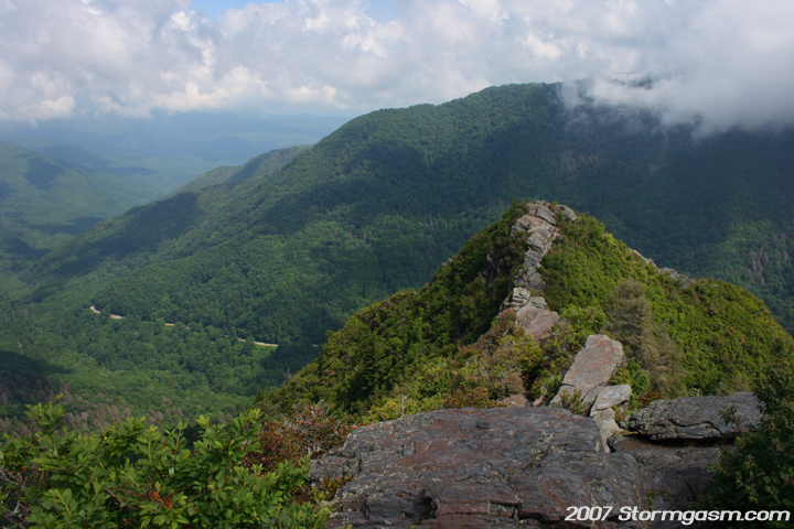
The left pic is looking northwest at a long ridgeline connected to Chimney Tops Peak. The pic on the right is looking at lower portion of the Chimney Tops Peak with Mt. Le Conte in the background. |
 |
 |
|
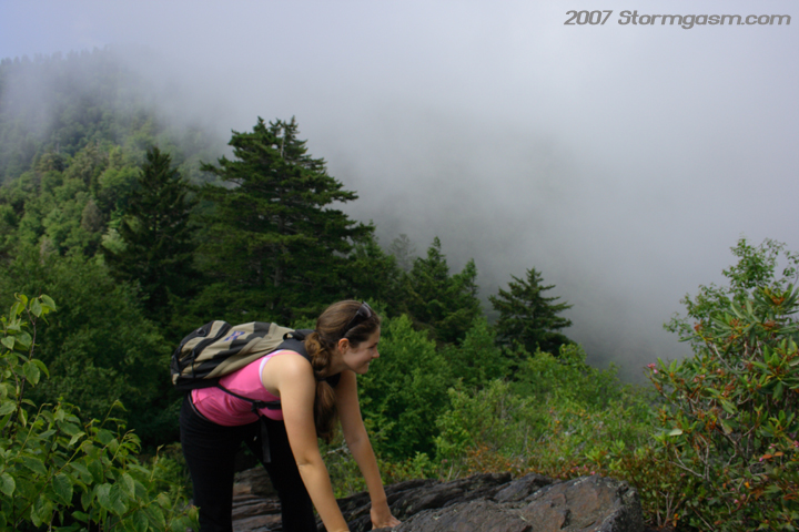
Simon on Chimney Tops Peak; it was really cool, because there were brisk northeasterly winds forcing air rapidly up the mountains. The air would condense into clouds on the windward side of the mountain due to orographic ascent. The cloud would then quickly evaporate on the leeward side of the mountain. We were basically playing in the clouds! Second pic is Anna climbing down the very top of the peak on a very steep section of rock. |
 |
 |
|
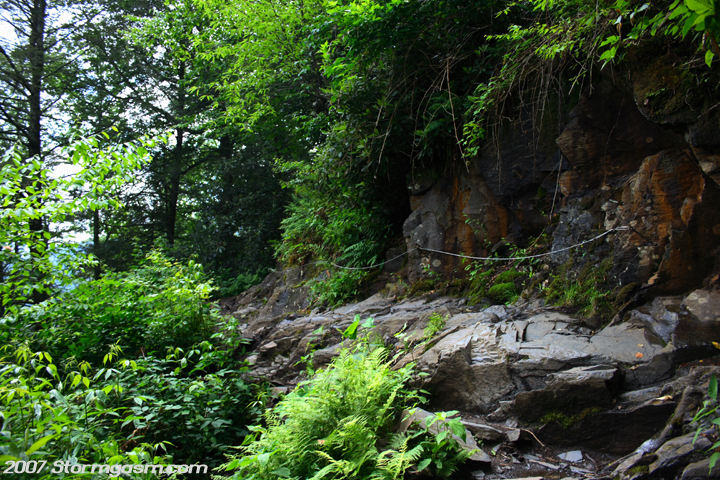
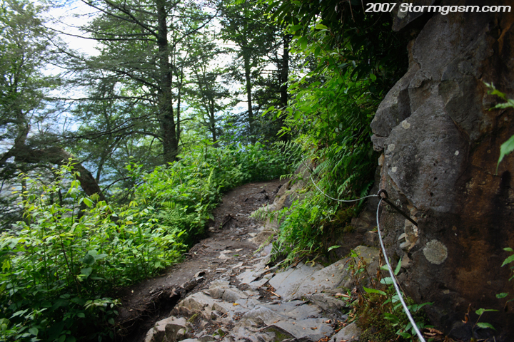
By the time we started to head back down the trail the sun was higher in the sky and provided more light for some shots I couldn't take on the way up. These are pics of a cable attached to a small cliff near the top of the mountain along the trail. It's not easy to see due to vegetation along the trail edge, but there is a very big drop off past the rocky outcrop. |
 |
 |
|
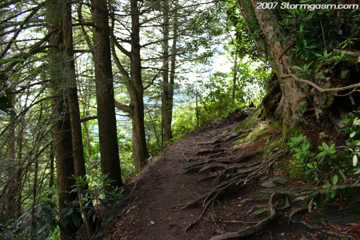
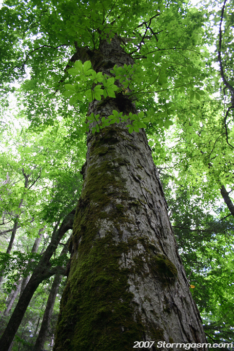
Pic of some cool tree roots on the trail near the top of the mountain; this is actually a sharp curve in the trail that signals the end is top is near. The pic on the right is of a massive tree (don't know what species) along the trail. |
 |
 |
|
Pic on the left is looking down one of the steepest sections of the trail; you can barely see Anna way down there... The pic on the right is of another bridge crossing a stream; there were several creek crossings on the trail. |
 |
 |
|
Nearing the end, also, can call it the beginning. The pic on the left is of the very beginning of the trail. This shot would have been impossible without a tripod at the beginning of our journey, because it would have been way too dark. The pic on the right is a close-up of the trail head sign that explains the Chimney Tops Peak Trail (1700ft elevation gain and 4-miles round-trip). The top of Chimney Tops Peak is 4700 feet in elevation. |
 |
 |
|
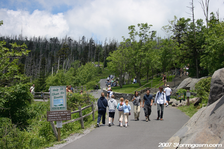
This is a picture of the very popular tourist destination, Clingmans Dome, which is the highest point in Tennessee and the second highest point east of the Mississippi River at 6643 feet. It's a relatively easy walk up this paved path, but unfortunately the pic on the right is the only shot I was able to take before my camera battery died. This was the end of our journey; I walked to the top of Clingmans Dome and took some pics with my cell phone, but Anna was too tired to come up with me, so she took a nap in the car. I haven't been in the heart of the Rockies, but as of February 2008 the Great Smokey Mountains National Park is my favorite spot in the country; it just feels magical on some of the trails. |
 |
Home
| Storm Store | Photo
Gallery | Message
Board | Storm Chases | Latest
News
Stock Footage | About
| Contact | Editorial
| Weather Links
Copyright 2004 Stormgasm.com. All rights reserved.