May 12, 2009 SW Texas Supercells

|
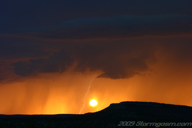
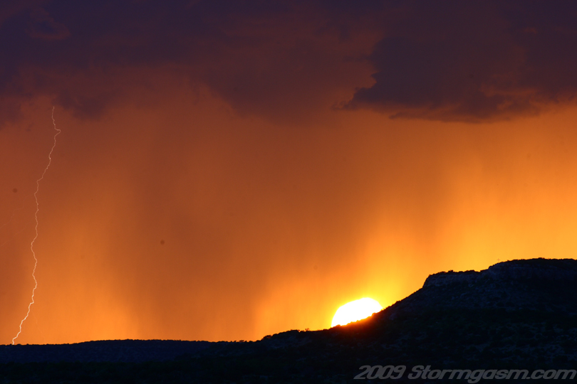
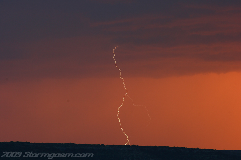
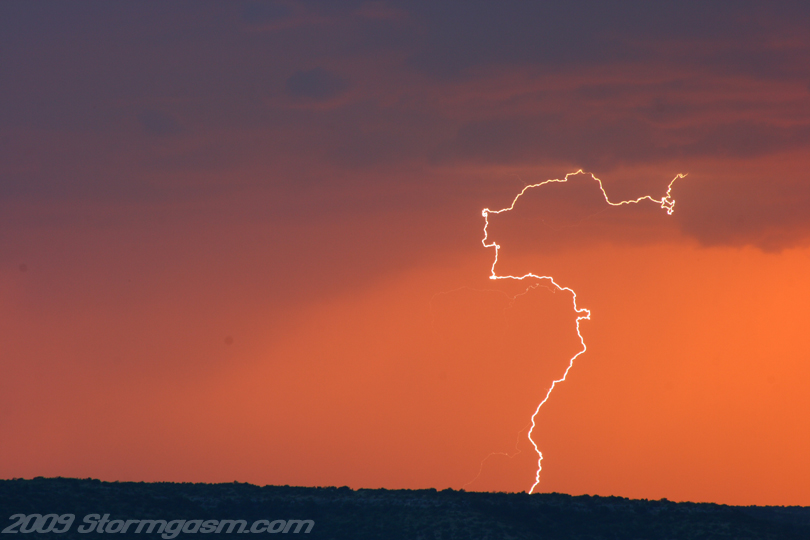
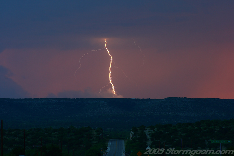
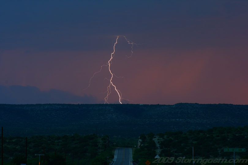
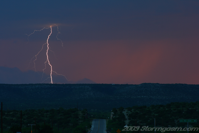
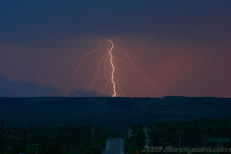
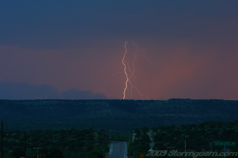
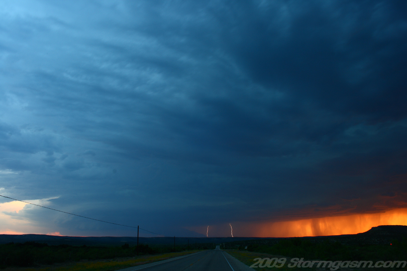
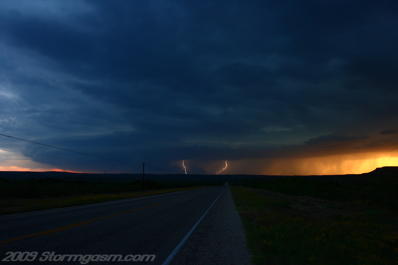
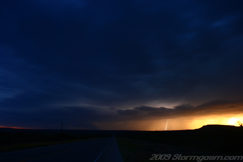
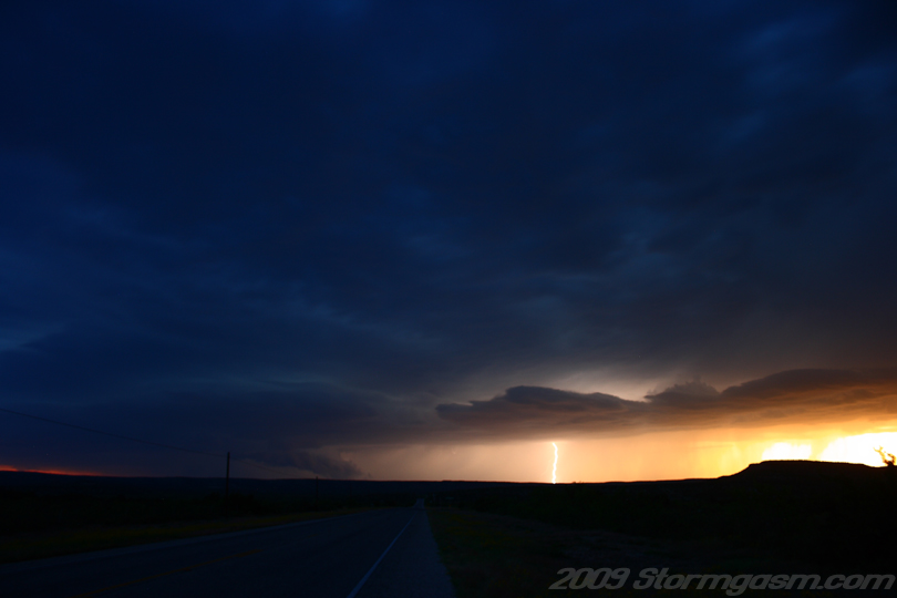
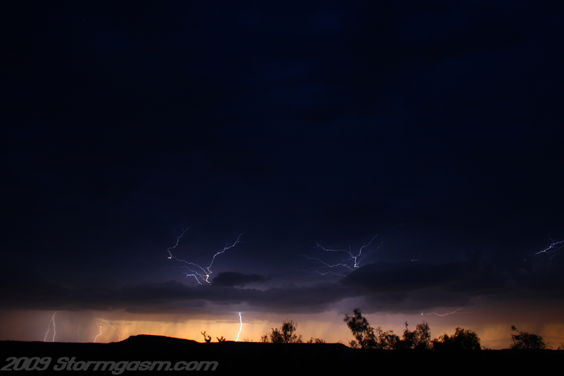
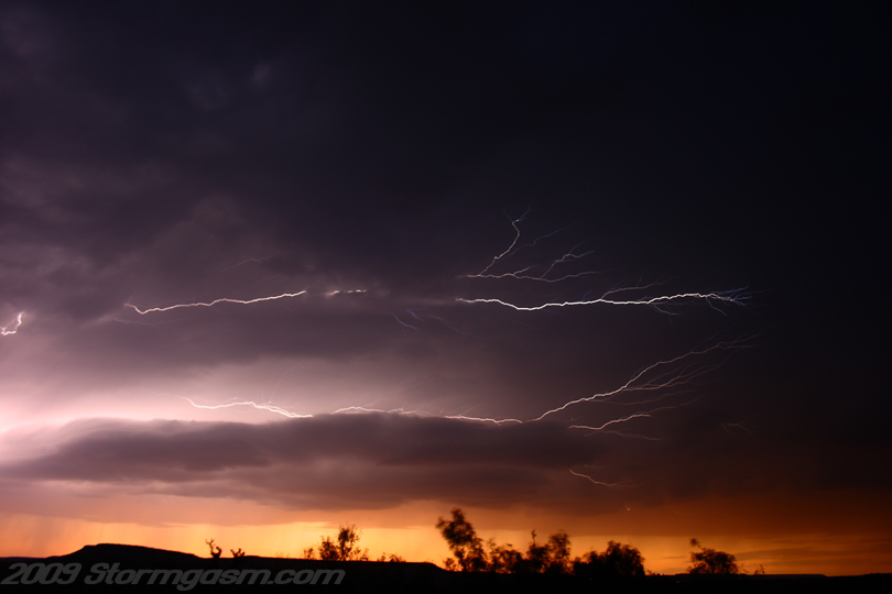
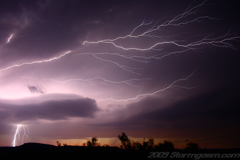
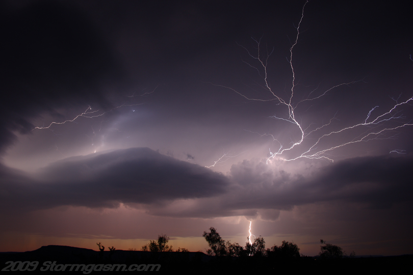
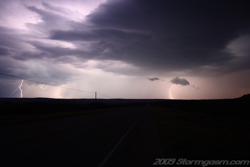
May 12, 2009: Jim Bishop, Juston Drake and Simon Brewer documented three supercells in Southwest Texas near Fort Stockton. This day appeared to be marginal at best for supercells across the Southern Plains. We targeted a region in SW TX along a dryline boundry where surface temps were near convective temperature. This region (near Fort Stockton, TX) had high dewpoint depressions, but deep moisture return was expected near sunset. The region was, also, under the northern extent of a relatively strong subtropical jet streak and a weak vortmax, only detectable by Water Vapor imagery, was expected to rotate over the area and provide adaquate upper air support to cool the mid-level temperatures and enhance instability. We thought we could see some nice high-based supercells during the early evening hours and perhaps have an opportunity for a tornado near or after dark. A supercell developed in the early evening and quickly developed supercell characteristics. A large wall cloud developed and we had become excited, but outflow quickly undercut the updraft. A cell southwest of the original cell moved northeast and eventually organized into a nice supercell with a well-developed, large wall cloud. The storm produced and incredible lightning display as the sunset. Eventually, the second cell merged with another supercell to its south and a small bow echo developed. Image on the right shows a lightning bolt in the FFD as the sun sets over west Texas. |
 |
|
|
 |
|
|
 |
|
|
 |
|
|
 |
 |
|
|
 |
|
|
 |
|
|
 |
|
|
 |
|
|
 |
|
|
 |
|
|
 |
|
|
 |
|
|
 |
|
|
 |
|
|
 |
|
|
 |
|
|
 |
Home
| Storm Store | Photo
Gallery | Message
Board | Storm Chases | Latest
News
Stock Footage | About
| Contact | Editorial
| Weather Links
Copyright 2004 Stormgasm.com. All rights reserved.