April 13th, 2007
Fort Worth, TX Tornado
Click on the pic above to view quick video clip...
|
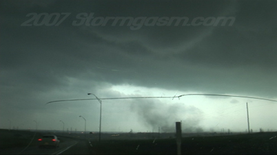
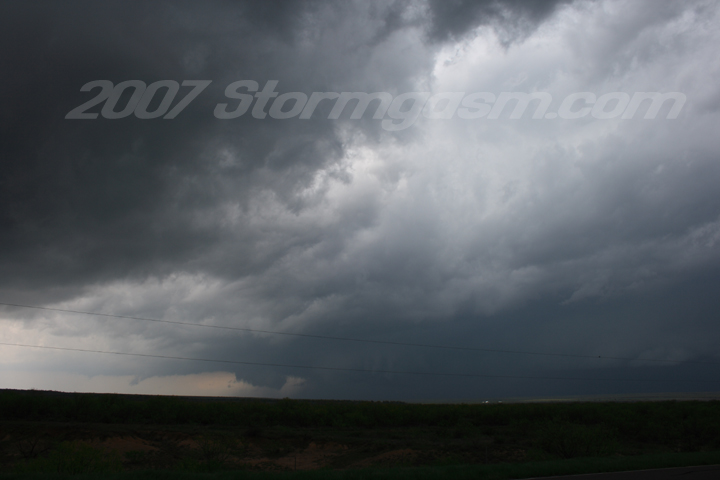
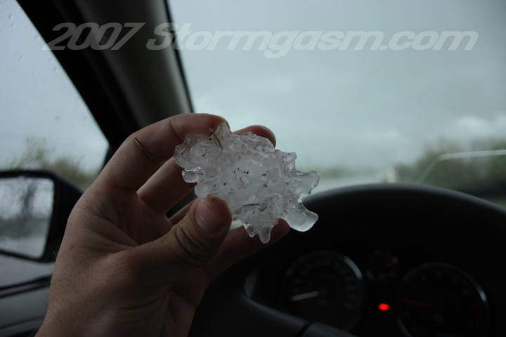
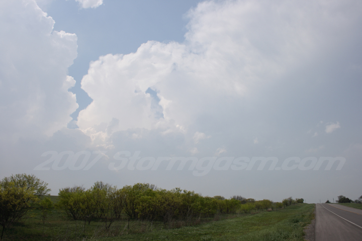
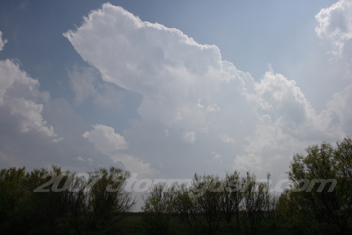
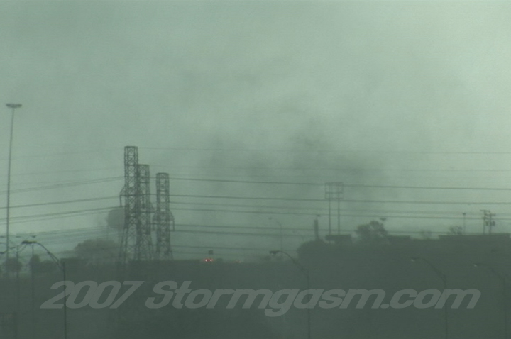
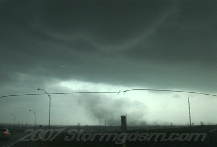
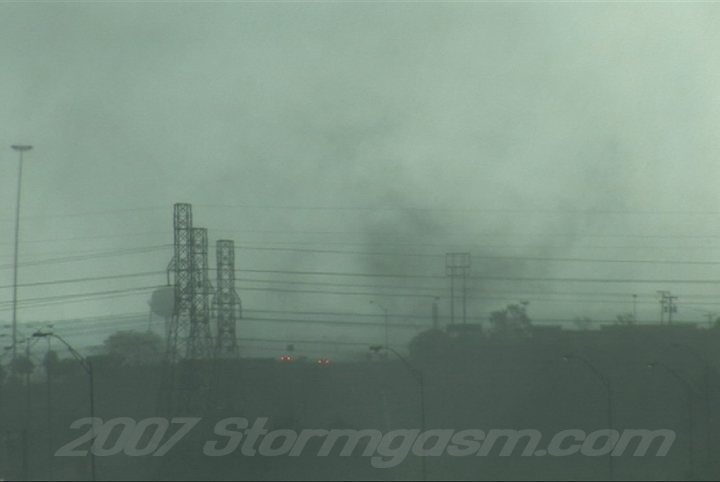
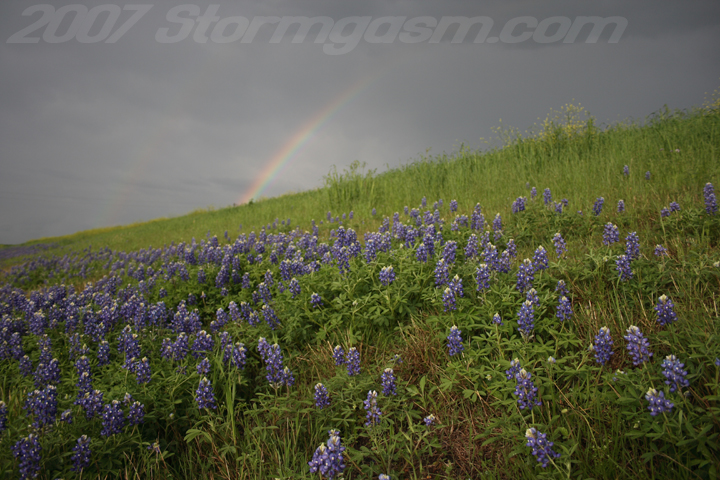
Simon Brewer documented a tornado at ~5:55 pm on the southwest side of Fort Worth, TX. Click on the pic above to view quick video clip... Target was Olney, TX: left Norman at 9am sat in Olney for a while, saw storm develop in Haskell County, but decided to let it go, because I thought the it would either cross the warm front quickly or get undercut by the pacific front; wrong, so I opted to intercep any new storm development near Throckmorton. Then the Haskell Co. Storm gets tornado warned, so I book it to Seymour; watched insane rotation and possibly got a peak at the tornado as wet RFD plowed the road in front of me. After storm got out of the way I stopped and took some pics of 2+inch hail on the ground in Seymour. Drove ESE to hit developing storms, which formed a line and pretty much gave up on the day south of Mineral Wells. Then I got very, very, very lucky: I decided to attempt to get ahead of the monster squall-line and took I-20 east instead of just heading north on state routes, which would have been quicker. So I accidently miss my exit for I-30 and end up stuck on I-20, but when I was driving onto the I-820 loop onramp from I-20 and witnessed this: The arc cloud from the gust front in my location went from 'slanted' to 'vertical' with a very convective appearence instead of a 'whale's mouth'. Also, the scud along the leading edge of the gust front dissapeared and the gust front developed into a relatively flat base at that location. As I was driving under the gust front and onto the onramp for I-820 I witnessed the formation of a gustnado (or so I thought) to my south out my passenger window. It was very impressive and I almost didn't stop, but I wanted to get some more pics for the day so I pulled over on the shoulder of the ramp (nobody was behind me). I slowly pulled out the video camera, because the gustnado situation didn't seem imminent, but as the gustnado moved into view of my front windshield I could see an obvious 'in-my-face bowl funnel' rapidly rotating above the debris cloud!!! The camera was still not on, but I had to get out of the car and see it with my own eyes to confirm it was actually a tornado and not just a look-alike-gustnado, but surely enough it was a bowl funnel all by itself with a nice debris cloud!!! I got the camera on just as I was getting back in the car and rain was now starting to pound me, because the base/gustfront was moving away from me and I was then behind it again. I saw large debris being lofted into the air as the tornado passed over some buildings, and I had my friend Tom on speaker phone and yelled for him to report it to the NWS in Ft. Worth. That was the last call I could make from my cell until I left the DFW area that evening due to cell lines being tied up all over the city. I'm irritated I missed the Seymore tornado in my target region, because I had no intention of chasing near DFW yesterday, but I got some dumb luck and saw a tornado in Metro Ft. Worth and apparently I'm one of the few if only person(s) that saw the tornado. I also got some good rainbow shots. |
|
Home
| Storm Store | Photo
Gallery | Message
Board | Storm Chases | Latest
News
Stock Footage | About
| Contact | Editorial
| Weather Links
Copyright 2004 Stormgasm.com. All rights reserved.