March 23rd, 2007
Southeastern New Mexico Tornado Outbreak
|
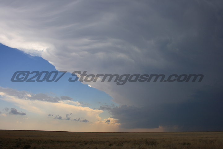
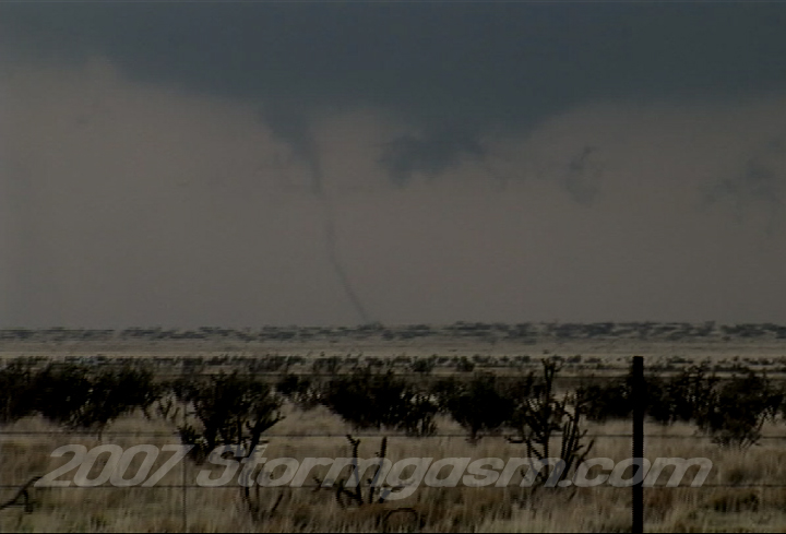
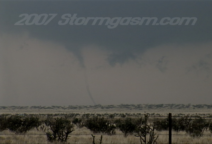
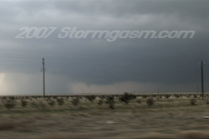
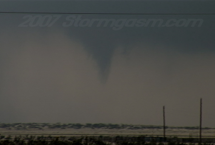
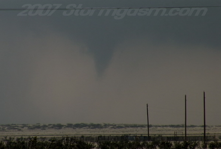
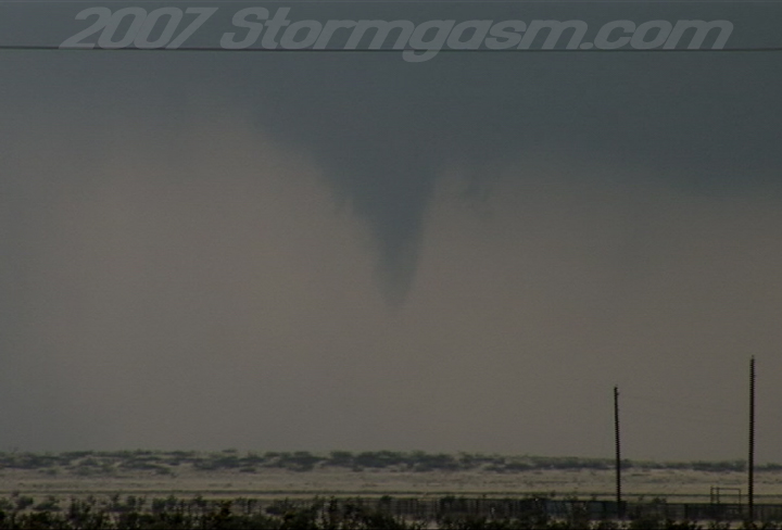
Simon Brewer documented a tornado outbreak in Southeastern New Mexico between Lovington and Clovis. Simon: I left Norman, OK around 7am with the intention driving to some town WSW of Lubbock, TX near the NM border and getting more data. It looked like supercells would fire off of upslope along the many mountain ranges in Central NM and West TX and then propagate NNE-ward into eastern NM. I stopped in Brownfield, TX and fine-tuned my forecast; basically I thought some cells firing near Carlbad, NM would propagate NNE into deeper moisture and better low-level shear near Lovington, NM, so I drove to Lovington and waited as one cell approached my position south of town. South of Lovington, NM I witnessed a beautiful LP supercell transform into a gorgeous Classic/HP supercell. I drove very close to one wall cloud as it approached and crossed SR 82 west of Lovington, which put me in horrible position for the first two tornadoes produced by this storm. I quickly regained better visual position and witnessed two tornadoes later in the day on this particular storm north of Tatum, NM. I witnessed some incredible wall cloud rotation and a few more funnels near and after dark with this storm, but called it quits on SR 235 SE of Portales, NM. Awesome day! Got some video of the tornadoes, but no pics. Will try to get some more pics up this week. |
|
Home
| Storm Store | Photo
Gallery | Message
Board | Storm Chases | Latest
News
Stock Footage | About
| Contact | Editorial
| Weather Links
Copyright 2004 Stormgasm.com. All rights reserved.